Ask InSite
Each month, we deep dive into a feature of Elevation Pro in 30 minutes or less!
Webinar recordings can be found in the HELP menu of Elevation Pro. Select Help/2. Video Tutorials.
April
Takeoff Accuracy: Verify, Validate, Success!
Want to ensure your takeoff data is spot-on every time? In less than 30 minutes, discover powerful techniques to verify accuracy and avoid costly mistakes!
What You’ll Learn:
- Master scale confirmation for precision
- Perfect your alignment rectangle modifications
- Define an accurate site boundary
- Explore 3D Live views for deeper insights
- Optimize your cut/fill data like a pro
March
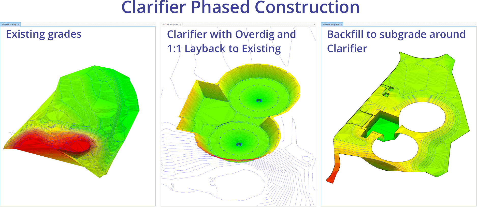
Accomplish Complex Projects Using Job Phasing
Elevation Pro delivers excellent results for your everyday grading needs. But when your projects are more complex, like building box-outs, key-ways, temporary ramps, retaining wall installations, water treatment clarifer installations, landfills and more, phasing is required.
In this Ask InSite, product manager Steve Warfle will work step-by-step through a phased project and show advanced examples.
February
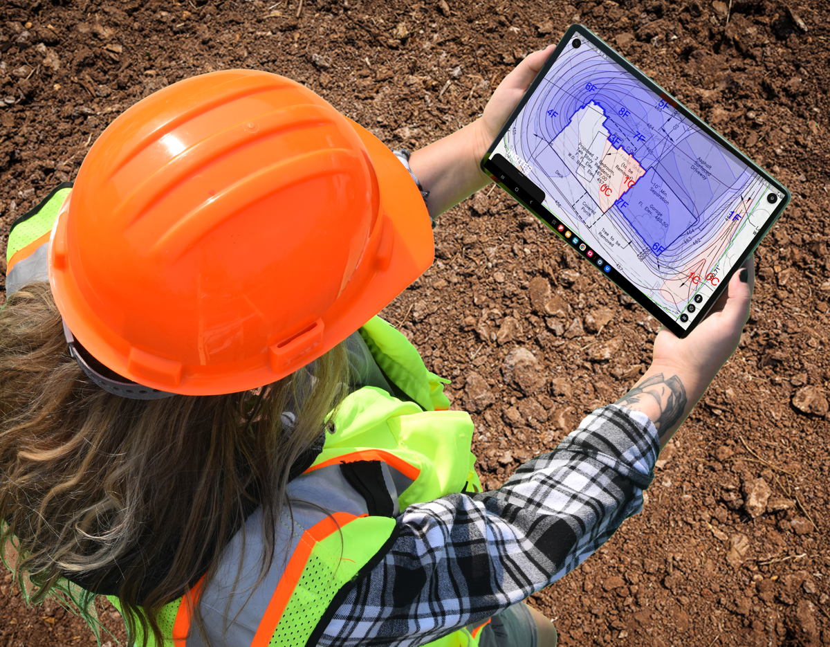
The Key To An Accurate Takeoff Starts with a Properly Located Site Boundary
In less than 30 minutes learn why correct boundary placement is essential for proper site calculation.
What we will cover:
- The importance a Site Boundary serves in precision takeoff
- How a proper site boundary location prevents uncalculated areas
- How an improper site boundary location can lead to excess cut & fill.
- How multiple boundaries can be used on one takeoff.
- How to modify Site Boundaries after completion.
- The consequences of an incorrect boundary.
- Updates to the Site Boundary in Elevation 25.0
December
Learn How To Easily Share Location-Based Data to Cell Phones and Tablets
The recording of this webinar can be found in the HELP menu of Elevation Pro. Select Help/2. Video Tutorials.
In less than 30 minutes we will show you step-by-step how to export KMZ files to third-party mapping applications. We will use Google Earth as an example.
What we will cover:
- Why the Google Earth version you choose matters.
- How to set up Elevation Pro for success, including navigation tips, etc.
- How to export a PDF from Google Earth and align to Elevation Pro.
- How to create a KMZ for export.
- Practical application using the KMZ export