GPS Machine Control & Staking
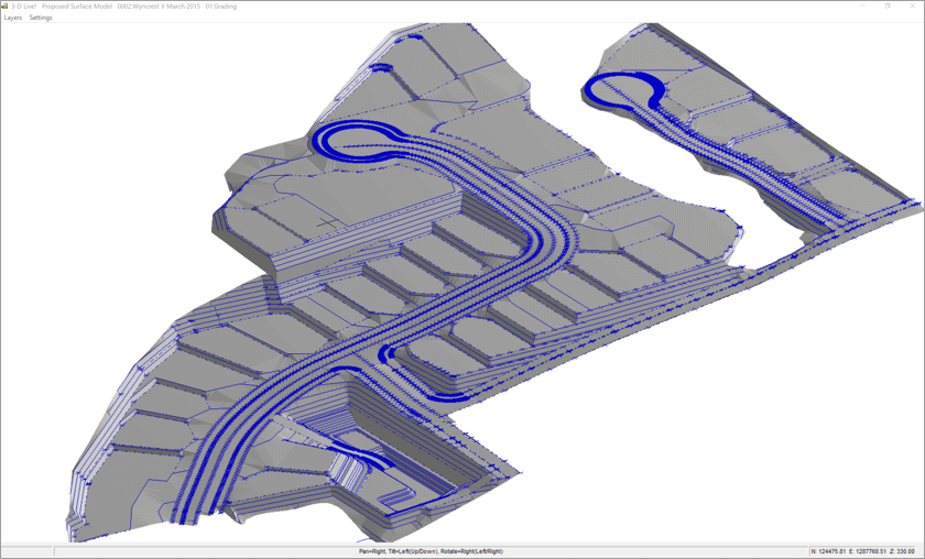
InSite Elevation Pro creates GPS machine control models and staking files easily without the complexity and necessity of a CAD program.
Stake building corners, centerlines and contours.
Use a CAD or Vector PDF file to prepare points for critical staking like curbs and buildings. The data can be downloaded to any data collector for use with conventional survey equipment.
Create GPS machine control models.
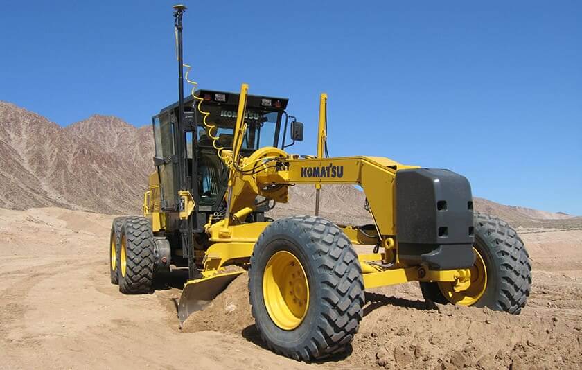
Export to Topcon, Trimble, CAT Accugrade, Leica, Komatsu and all other machine control systems.
Create grading surfaces for BIM modeling

