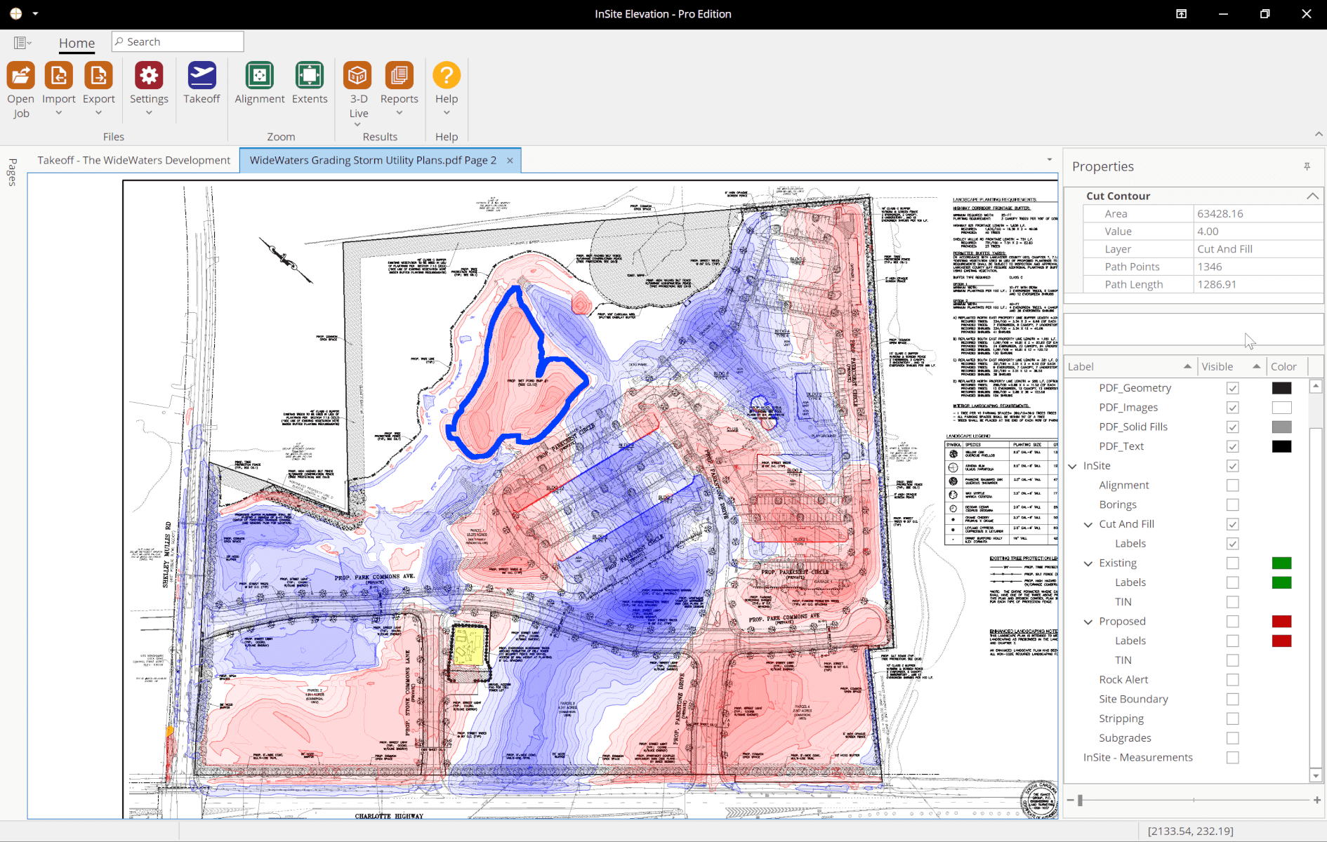
Tour InSite Elevation Pro

Follow along to see why InSite Elevation Pro is the only earthwork takeoff software solution you need to improve accuracy, save time, and prove your numbers.

Elevation Pro Advantages

  • Totally Portable– With no digitizer, take-offs can be done on a laptop anywhere.
  • Save on Plan Costs– No need to print or purchase plans.
  • No Tracing -Select lines and contours on PDFs. Import entire layers with CAD files. A customer shared “I am selecting existing grades right now and I would say 10 times faster is conservative. “
  • Align Multi-Page Documents – Multi-sheet PDFs (subdivisions, office parks, schools, water treatment, etc.) can easily be merged into one large take-off.

Work from Multiple Sources Simultaneously

InSite Elevation Pro makes easy it is to work with multiple data sources.

Open vector (PDF, DWG, DXF, etc.), image (PDF, TIF, etc.), or data imported from a data collector or drone in separate workspaces. A coordinated cursor across all open workspaces including 3-Ds confirms the data and makes combining plans with different scales easy.

Watch the video below to see how. PDF, CAD, Google Earth™, and drone data at the same time.

Schedule a Live Demo

For a Private Demonstration call us at 877.746.7483 (Monday-Friday, 8:00 am to 5:00 pm EST) or Schedule Online.

Schedule a Live Demo
Consent Management Platform by Real Cookie Banner