GPS Modeling & 3D Graphics are Critical to Pro Grade’s Success
May 17, 2022
 Ryan Qualls of Pro Grade Enterprises, Inc, located in Easton, WA, relies on InSite Software to transform one-dimensional CAD files into high-quality 3D images and GPS machine control models.
3D Live™
According to Qualls, the feature he relies on the most is InSite’s exclusive 3D Live™, allowing estimators to view newly entered data and edits in real-time. Qualls then prints the 3D images to share with his customers and staff. Pro Grade focuses primarily on large residential subdivisions and roads with very hilly topography. Says Qualls, “InSite is both a project management and marketing tool. The 3D Live™ images help my customers and staff easily visualize a job site. I can make decisions on the fly and see the results immediately.”
GPS Machine Control
InSite also helps Qualls streamline the production process using the software’s built-in GPS modeling tools. Says Qualls, “The best part about InSite and the GPS modeling process, is if you can get AutoCAD files at the time of the takeoff, you are 50% to 75% towards the finished model. With any kind of large structure excavation, it’s easy to build a triangulated (TIN) surface with InSite’s slope to daylight tool. The TIN is what runs the 3D machines on the site.”
InSite Elevation Pro is an earthwork takeoff and GPS modeling solution designed to give estimators the tools to accurately calculate earthwork quantities and validate the results.
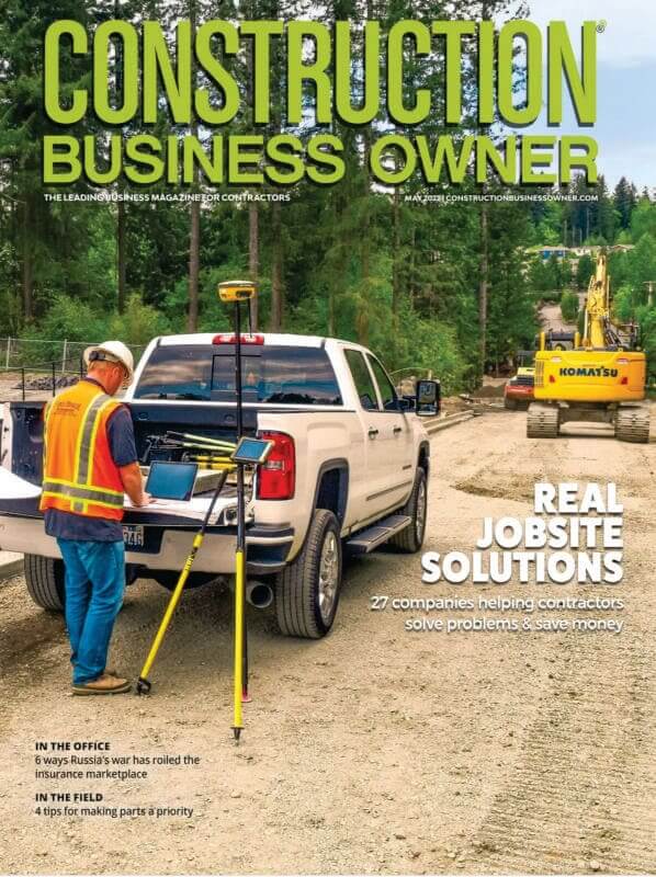
This article was originally printed in the May 2022 issue of Construction Business Owner