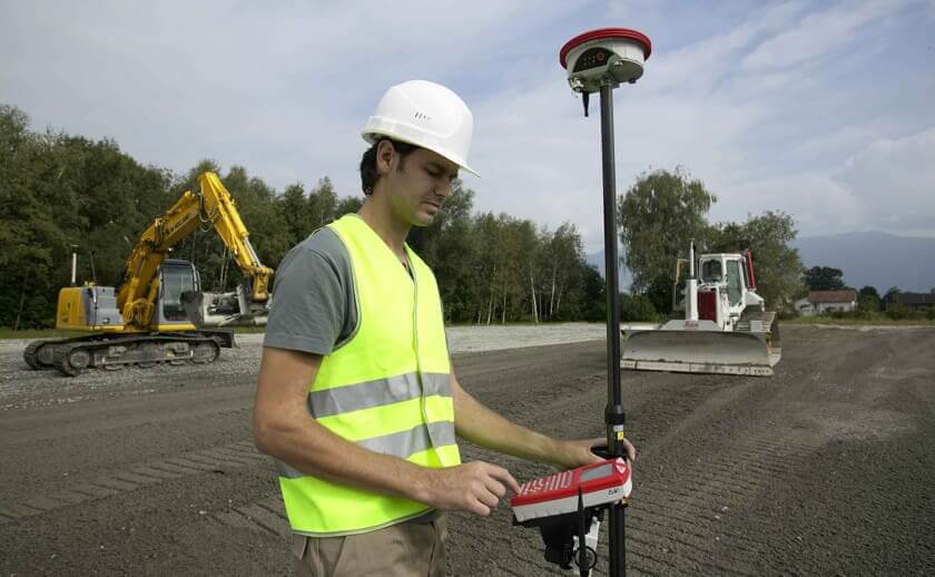
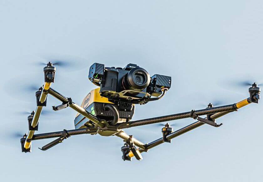
Importing Field and Drone Data
Elevation Pro provides surface import from GPS, total stations and drones. Export models and point data to GPS and total stations. Verify existing site topography, calculate "as-builts" and easily create grade stake-out data.
How It Works
Work with multiple data sources
InSite Elevation Pro makes easy it is to work with multiple data sources. Watch how the software uses a coordinated cursor across all open workspaces to ensure accurate measurements and prevent data duplication. Open vector (PDF, DWG, DXF, etc.), image (PDF, TIF, Google Earth etc.), or data imported from a data collector or drone in separate workspaces.
The coordinated cursor is aligned across all open workspaces including the 3D, confirming the data and makes combining plans with different scales a snap!
Watch the video below to see how. PDF, CAD, Google Earth™, and drone data at the same time.
Drone and Field Data

Open Drone or Field data without alignment when it shares a coordinate system with an aligned document. Or use common features for two-point alignment.

Image courtesy of Topcon Positioning Systems, Inc.