Earthwork Grades
Earthwork grading takeoffs start with entering existing and proposed grades from PDF or CAD files.
How It Works
PDF Take-offs
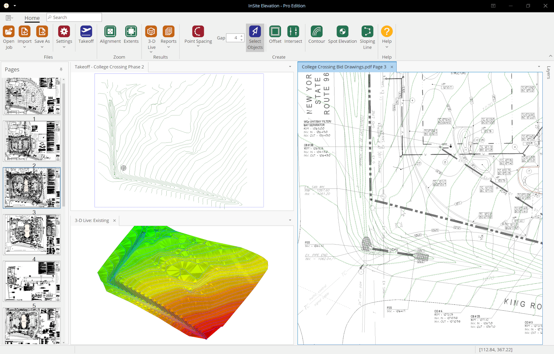
Start a PDF take-off by selecting an image file from the thumbnail display. CAD import is shown at the end of this page.

Easily verify scale
Check the scale by selecting two points of a known distance.
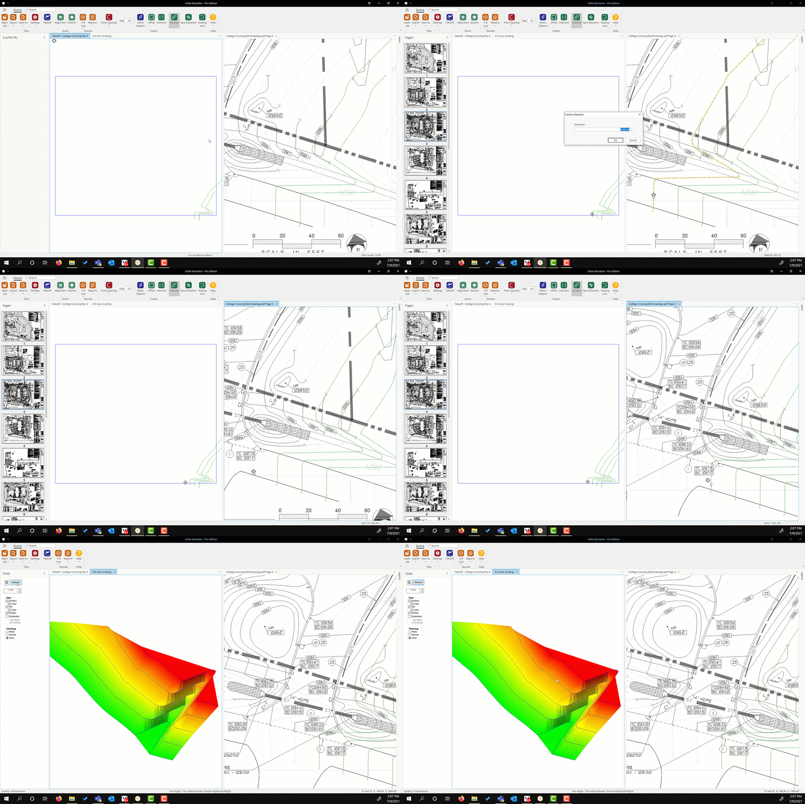
Enter the existing grades
Simple menus are easy to follow. Grade information can consist of spot elevations, contours, and break lines.

Watch the Takeoff Come to Life with 3D Live™
Watch 3D Live™ draw the triangulated surface in real time. 3D Live provides verification that the contours entered are correctly. Learn more about triangulation.
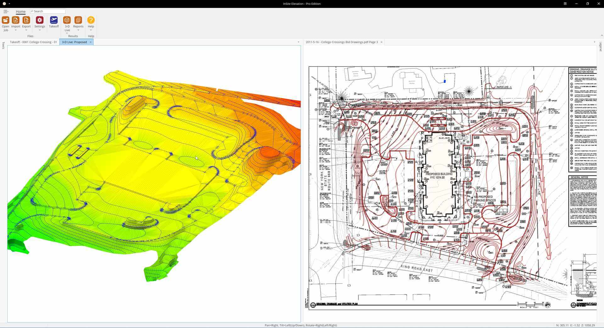
Add the proposed grades
Use the offset tool to model curbs, swales, retaining walls and other site features.

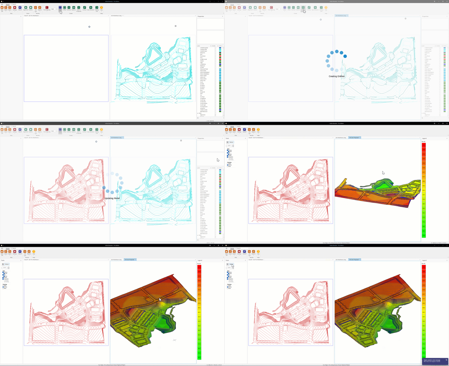
CAD TAKEOFFS
CAD files offer the advantage of having elevations assigned to the grade information. Watch the simple workflow of moving the grades into the takeoff.
