InSite Attends Advancing Preconstruction Show
June 2, 2025
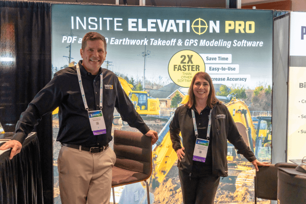 We were excited to exhibit at the world’s biggest preconstruction event, Advancing Preconstruction, May 21-25, 2025, in San Diego, CA!
Attendees discovered how Elevation Pro lays the groundwork from site feasibility to job completion in one powerful earthwork takeoff and GPS modeling solution.
Optimize Estimating Time
Import data from multiple sources including PDF, CAD, Google Earth, data collectors and drone topography. Watch this video to see how Elevation Pro allows you to import existing and proposed grades, add stripping, demolition, and subgrade adjustments in minimum time.
Determine Site Feasibility
Elevation Pro quickly creates conceptual designs using Slope to Daylight, Offsets, and Sloping lines. Learn how.
Identify Costly Soil Suitability Problems
Quickly enter soil boring data to produce cut and fill calculations by strata.
Locate challenging or unsuitable strata layers with Rock Alert. Watch how it works.
Easily identify cut and fill across the site with Cut and Fill Contours. Watch how to take production planning to a new level!
Value Engineer the Jobsite
Value Engineer jobsites with the Dynamic Site balancer and to minimize import and export. Learn More.
Minimize Risk
Clearly communicate critical site data with 3-Ds, cross sections, cut & fill contours, and detailed reports in PDF, DWG, XLS and many more formats.
Share Location based KMZ data to any GPS equipped mobile device. Walk right to the location of a structure, building corner, driveway, etc. and see the cut and fill in real-time. The KMZ file can be freely shared with anyone including subcontractors, inspectors, suppliers. Here’s how it works.
Create GPS Machine control models for Topcon, Trimble, CAT, Leica, Komatsu, and all other machine control systems.